
GPR surveys and mapping
We locate underground services with radar, mark their position and depth on the ground, and map them as a simple PDF record or a detailed sub-centimetre DWG drawing.
About GPR surveys and mapping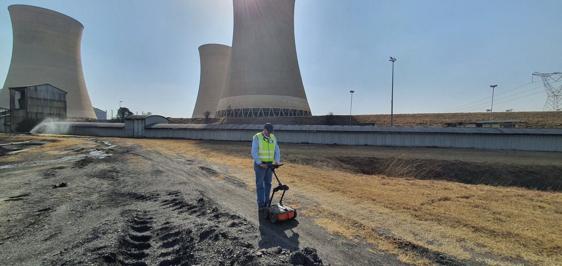
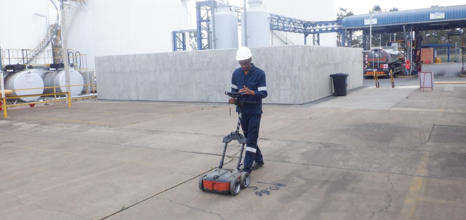
Non-destructive ground penetrating radar surveys. We locate underground services, mark their position and depth on the ground, and deliver sub-centimetre-accurate DWG or PDF drawings.
Locating, mapping and scanning for engineers, contractors, property owners and municipalities.
We locate underground services with radar, mark their position and depth on the ground, and map them as a simple PDF record or a detailed sub-centimetre DWG drawing.
About GPR surveys and mappingMillions of laser measurements become a 3D point cloud of structures, tunnels and land deposits, delivered in BIM format.
About LiDAR scanningCombined technical experience across our team.
A short turnaround between your quote and the survey.
Heavy investment in equipment that saves you time and money.
Each survey is planned around the client’s needs.
From a single service line to a full site.
A GPR survey at Netcare Ferncrest Hospital in Rustenburg, ahead of upgrades to the water back-up tanks.
A survey at a Rand Water pump station before excavation, confirming the depth and location of all underground services.
A survey at Vodacom World to detect potable water services before leak detection.
Tell us about your site and we’ll come back to you with a quote.